Results
Understanding the past
The comparison of the historic landscapes of the Horta de Pinyana, Conca de Poblet, Vall Cerdana, Terraprims or those found in Priorat county allows us to take stock of those realities that are very similar in the four landscapes and those that are specific to each one of them. Analysing the historic landscape in its entirety, as an ensemble of inter-related components, has made it possible to understand certain elements of the landscape much better from a historical perspective.
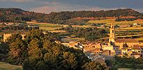
Around a town there are places for cultivation, paths and irrigation canals that exist and are how they are because the area is inhabited. This complex of elements very often helps us to understand where they are located. Thus, we need only glance at the maps that reflect the character of the landscape of towns like Alpicat, Rosselló, Almenar, Corbins, Torre-serona, Rocafort de Queralt, Sarral, Solivella, Vilaverd, Meranges, Olopte, Talló, Llívia, Navata, Esponellà, Vilert, Bàscara, Marçà and Capçanes.
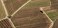
Many paths can be related to towns, fields, boundaries, mills and pastures. Furthermore, as indicated above, the path may create other landscape components that have a similar form (for example, a parallel path). The study of the vicinity of Lleida and of the network of paths that leave the city helps us to understand the importance of an accurate study of the lines of the layout of the various roads.
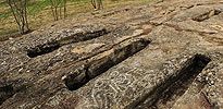
Some components of today’s landscape, such as paths, may be related to old dig sites abandoned many years ago. This is the case of the Visigoth-era necropolis at Tossa de Baix, for example, and of the Roman dig site at Tossa de Dalt (Rosselló, Segrià).
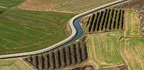
The close relationship that exists between irrigation canals, hydraulic areas, inhabited places and mills is well known and evident everywhere. To understand the landscape of Horta de Pinyana, for example, you must understand the changes that have occurred in the set of irrigation canals and hydraulic spaces that have existed there throughout the centuries.
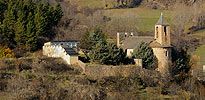
The importance of looking at a monument in its environment, and not as an isolated reality, has always been noted. The church must be related with its sanctuary, the castle with its town, the bridge with a path, etc.
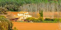
Like in relation to the towns, scattered country homes must be related to the fields and terraces of the area, with the paths that lead there or with the forested places that surround the cultivated area.
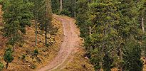
Keeping in mind the importance of having livestock in some rural communities, one may understand, for example the impact that cattle paths have when establishing the layout of the limits of populated areas (very often the current municipal boundaries).
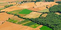
Studying and mapping the historic landscape gives us a much better understanding of the characteristics of a point of land, of a small valley or cirque, of some elongated fields or, for example, of a group of terraces.
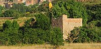
Any landscape component must be related to other elements in the same landscape, whether man-made or not.
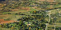
To understand the boundaries, they must be related to inhabited places, paths, irrigation canals, landmarks, the orientation of Roman centuriations and plots, etc.