News, highlights, articles, activities and more.
Which landscapes predominate in your region? Which landscape do you live in? What information is available about your landscape?
No search results found
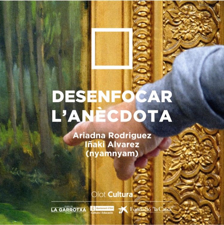 L'Observatori col·labora amb l'exposició 'Desenfocar l'anècdota', al Museu de La Garrotxa